Heavy Snow Tuesday Afternoon, But New Forecasts Reduce Intensity
Published:
March 14th, 2023
By:
Tyler Murphy
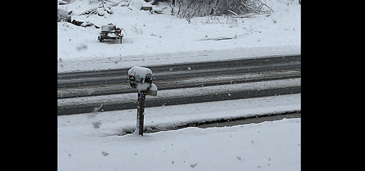 State Highway 41 in Coventry Tuesday morning. (Photo by Gregory Tiley)
CHENANGO COUNTY – The National Weather Service in Binghamton has released a new prediction for a nor'easter winter storm hitting the area, with expected snowfall to be in the 8 to 12 inch range for most of the county.
“We did not get the anticipated snow amount they were thinking about last night. The transition from rain to snow took longer,” said the Chenango County Emergency Management Director Matthew Beckwith Tuesday morning.
The predictions put higher levels of snowfall at the northern end of the county and at higher elevations in general, which will likely see additional inches of snow.
Beckwith said the area would be hit by major bands of bad weather Tuesday morning and at midday. Rates of snowfall were also slightly lessened to about 1 to 1.5 inches per hour at peak rates.
Chenango County DPW road clearing crews reported for work before 4 a.m. Tuesday and can typically keep main roads clear with rates of 1 inch per hour.
“Unless something drastic changes with the wind or there are drastic changes in the predictions, I think it will be more manageable than first thought,” said Beckwith.
He said a foot of snow at an inch an hour was akin to a more typical snowstorm. Still he said at some points during the day the weather would be severe. He said drivers should use additional caution and give themselves more time when driving.
He said some elevated, northern locations would get up to 18 inches of snow and power outrages were still possible, and downed trees a serious hazard.
Officials said flooding in the days ahead was unlikely, even with warm weather and rain predicted, because river and water table levels are low.
Author: Tyler Murphy - More From This Author
Comments