Off The Map: Bushwhacked
Published:
August 12th, 2013
By:
Bryan Snyder
In the shade of the sycamores, a gathering of parents and children rested on the library lawn and clapped at the jugglers and stilt-walkers performing for their pleasure. Just another leisurely summer day in Solvang, California. I only glimpsed this circus scene for a few seconds as I drove past on Highway 246, heading for the Tequepis Trailhead, but the thought went through my head: that looks like a much more enjoyable experience than I’m soon to be having.
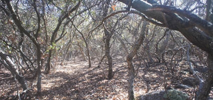
For my final week in Southern California before departing for Montana, I had chosen to seek out an obscure relic from an outdated map – a jeep trail that wound from the Santa Ynez Valley floor to the top of 4,298-foot Santa Ynez Peak. Evidence of the road could no longer be viewed from the ground; I suspected that it been mostly erased by time and the steady encroachment of chaparral brush. The road originated on private property, so to reach it I would have to bushwhack through National Forest from the east, starting in the vicinity of the Outdoor School where I teach during the school year.
Author: Bryan Snyder - More From This Author
Comments