Settlement Spacings
Published:
December 28th, 2006
By:
Donald A. Windsor

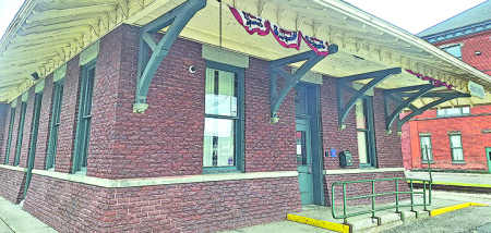
Early settlements tended to be strung out along roads like pigeons perched on a wire, with equidistant spaces between them, as in the photo. This distance was often 6 miles and known as "the rule of sixes".
The best example of this rule still persists along State Route 12. Here are the settlements from north to south with the miles between them in parentheses: Earlville (5.0) Sherburne (4.5) North Norwich (6.0) Norwich (7.4) Oxford (6.7) Brisben (5.2) Greene (7.0) Chenango Forks. Mileages were taken from the table in the 1875 Atlas, which probably measured from center to center. Although there is some variation in these numbers, the median (typical) value is 6 miles. Current roads have been straightened so odometer readings today may not agree.
The standard explanation is that an ordinary person can comfortably walk 6 miles in a half-day, 12 miles in a full day. Hikers and runners go faster and farther, but they are extraordinary. Early travelers would set out after breakfast and walk until lunch. After eating and resting they would embark again and walk until supper at an inn, where they would bed down for the night. On the morrow they would repeat this routine.
Author: Donald A. Windsor - More From This Author
Comments


